01
Routes scored on green space
Green polygons are fetched and indexed, and candidate routes are scored on how much of them run through actual parkland.
FitWalk
iOS and Android, built in React Native. Ours, and still shipping.
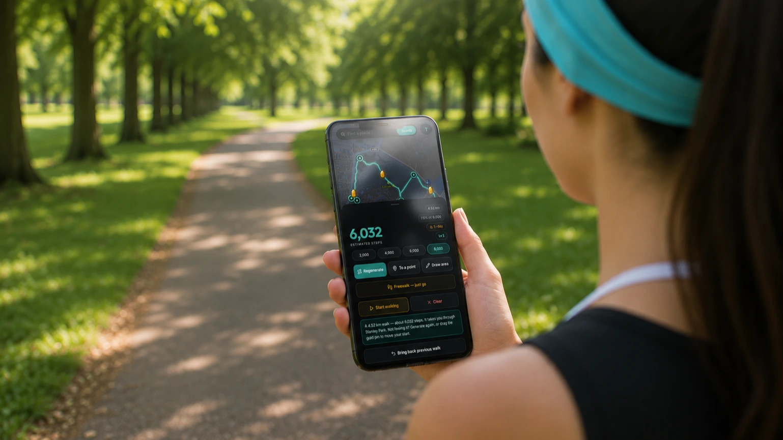
Most step apps count. This one plans.
A pedometer tells you what you already did. FitWalk works out where you should go — it builds a route from your own front door and scores the options on how much green space they actually pass through, using real park and woodland boundaries rather than a guess.
Then it drops coins and gems along the route, which sounds trivial and is the reason people take the longer way round. Streaks, XP and leaderboards do the rest.
The details are where the work went. The map turns from day to night on the real sunrise for where you are standing, not on the clock. Background GPS keeps counting with the screen off — a foreground service on Android, background location on iOS — because an app that stops counting in your pocket is not a walking app.
What is actually in it.
01
Green polygons are fetched and indexed, and candidate routes are scored on how much of them run through actual parkland.
02
Coins and gems placed on route vertices, worth XP, which is why people take the longer loop.
03
Steps read from the platform on both operating systems, so it agrees with the phone rather than arguing with it.
04
A foreground service on Android and background location on iOS, so the walk keeps counting with the screen off.
05
The walk on your wrist, and something to compete over.
Where the work actually went.
Three problems that decide whether a walking app is usable, none of which are visible in a screenshot.
01
A walking app that stops counting in a pocket is not a walking app. Both platforms actively try to suspend it, so the tracking runs as a foreground service on Android and background location on iOS, and the step totals are read from Apple Health and Health Connect so the app agrees with the phone rather than keeping a rival count.
02
Scoring a route on green space means holding the actual boundaries of parks and woodland, fetched and indexed, then measuring how much of a candidate route falls inside them. A guess based on street names would be quicker and would send people down a dual carriageway.
03
The routing is the feature; the collectibles are why anyone uses it. Coins and gems sit on route vertices and are worth experience, which turns a detour through a park into the obviously better option without ever telling anybody to walk further.
The stack.
React Native on the new architecture, TypeScript, MapLibre, Supabase, MMKV, Notifee. One codebase for iOS and Android.
Get started
Tell us what it has to do and who has to use it. We will tell you what it takes.
Or email hello@oynk.co.uk